Size Guide
Product Measurements
1
/
of
1
In stock
National Geographic
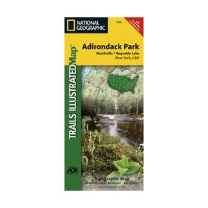
National Geographic - Northville/Raquette Lake Map
National Geographic - Northville/Raquette Lake Map
Regular price
$14.95 USD
Regular price
$14.95 USD
Sale price
$14.95 USD
Unit price
/
per
SKU:53015
Couldn't load pickup availability
- Free Shipping on Orders over $69
- Fast and Easy 90-Day Returns
- Best Price Guarantee
Share
This Trails Illustrated topographic map is the most comprehensive and complete recreational map for the Northville and Raquette Lake area of Adirondack State Park in New York. The map shows all trails, campsites, and recreational features, plus relevant information on wildlife, history, geology, and archaeology.
Features
Features
- Coverage includes Siamese Ponds, Silver Lake, West Canada Lake, and Blue Ridge Wilderness Areas; Wilcox Lake, Shaker Mountain, Ferris Lake, Moose River Plains, Sargent Ponds, Blue Mountain, and Vanderwhacker Mountain Wild Forests; and the Northville-Lake Placid Trail from Northville to Blue Mountain Wild Forest. Also includes Mayfield, Speculator, Indian Lake, and North Creek.
- All data is updated to reflect road closings, new trails, and campground relocation. Printed on waterproof, tear-resistant material with a plastic coating that offers supreme durability for your next outdoor adventure.
- Measures Approximately 4 1/4" x 9 1/4" folded and 25 1/2" x 37 3/4" fully opened.
- Scale = 1:75,000.

