Northern Forest Size Chart

Out of stock| New gear ? Brand new, factory fresh gear.
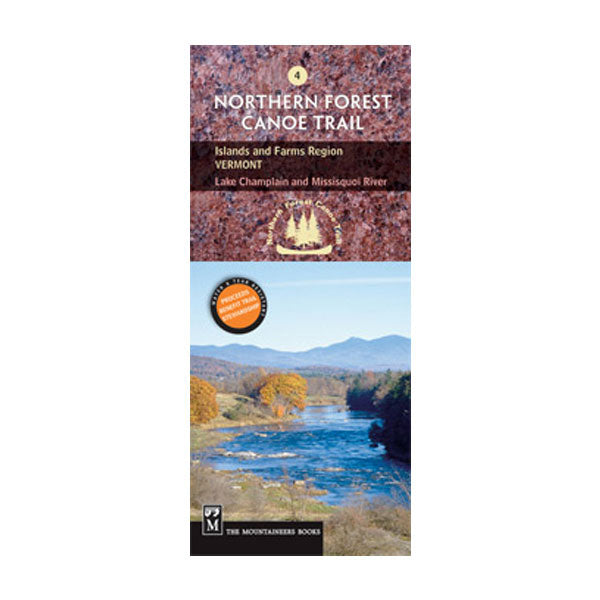
NFCT Canoe Map #4 Islands/Farms
NFCT Canoe Map #4 Islands/Farms
Regular price
$12.95
Regular price
$12.95
Sale price
$12.95
Unit price
per
Shipping calculated at checkout.
SKU:61495
Couldn't load pickup availability
Overview
One in the series of official maps, map #4 covers the Islands and Farms region of Vermont, from Lake Champlain to the Missisquoi River. The entire length of the NFCT is passable now. It connects every major drainage in the northeast and traverses a diversity of waterways, each historically significant to the region's development. This map is one in a series of 13 total maps that depict the entire route. Made in USA.
Features
- Explore the ancient travel route of the Northern Forest Canoe Trail through the uppermost northeast states
- The 740-mile water trail links watersheds throughout the Northeast, following Native American travel routes through the region
- Established mile markers provide clear travel directions and points of interest along the trail
- Maps include put-in points, portages, campsites, local contact information and permit guidelines
- Printed on waterproof, tear-resistant paper
- Measures 4 x 9 inches folded; 28 x 32 inches fully opened
- Mountaineers Books; copyright 2004